 Steve Kidd Cycling Trips and Guides
 Steve Kidd Cycling Trips and Guides
The Whitehaven / Sunderland C2C route is not perfect, There are easier, cheaper and more pleasant alternatives. I have completed coast to coast bike rides in Northern England with four of my children, namely.
| Date | From | To | Days | |
|---|---|---|---|---|
| Jake | June 1995 | Blackpool | Bridlington | 6 days |
| Julia | 18th September 1998 | Morecambe | Scarborough | 4 days |
| Ella | 14th July 2000 | Whitehaven | Sunderland | 5 days |
| Graham | 31st August 2001 | Morecambe | Scarborough | 4 days |
I would unreservedly recommend Morecambe/Scarborough. Not only was this the easiest, but embraced a day at Flamingo Land, a swim beneath Hardraw force and the best cycle track in England amongst many attractions.
The start and finish towns are dumps. I'm sorry, if you come from Whitehaven or Sunderland, but they are industrially based, with no beaches, donkeys, waffle shops or parks.
The start and finish points are as far away from the population as you can get. For anywhere south of the A66 considerable extra expense and time is required to reach the C2C endpoints. This would not be so bad if the route was significantly more quiet or beautiful, but it is not. The Lake District is a microcosm of natural splendour, the Northern Pennines are sweet, but the other routes embrace the Pennines, and the North York Moors or Yorkshire Wolds. The view from Morecambe tops that from Whitehaven, and the Ribble Valley, Ingleton, Ingleborough, Ribblehead, Hawes and Ampleforth are gorgeous.
The official guide is expensive, and was unobtainable. We could not buy one at W.H.Smith in Whitehaven, and the local bookshop sold us The Ultimate c2c Guide by Richard Peace. When we did stop and scratch our heads with fellow travellers looking at that official map, we were bemused (The official guide costs £5. You cannot download a decent map from the web). I feel more comfortable with an Ordnance Survey map that can be used for other purposes, justifying the extra expense.
MapsSince this piece was originally written, navigation methods have changed significantly, Apart from SatNav, Google Maps etc, one can access Streetmap, or for the Ordnance Survey afficianados I have large tracts of the country mosaiced at my maps Whatever, there is no need for me to put up any but the most cursory ones up to illustrate the text |
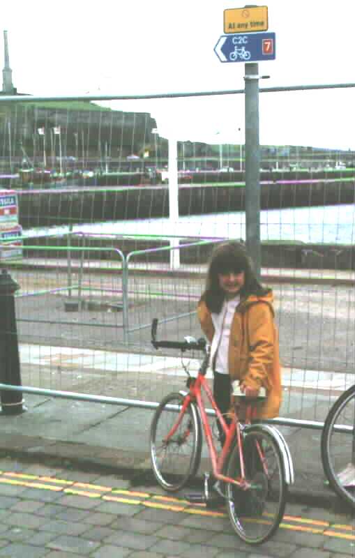
 The sign posting can be misleading. The very first sign we followed took us down a fenced up cul de
sac. The third sign we followed sent us back to the beginning. No place names are described on the
signs, and no mileage. There was no sign that said 'START' or 'FINISH - WELL DONE'. Alternative route
sign posting was confusing for the traveller and irritating to the locals, where a post might have four
very similar signs pointing in different directions.
The signs send you on long and uncomfortable diversions (Top of Whinlatter, Mungrisedale, along the River Wear in Sunderland).
It is a difficult thing, to balance safety, effort and aesthetic worth when picking a cycle route, but if you want a tour of the Lake District go on a tour of the Lake District.
I am sure that the challenge of the C2C is enough in itself without adding to it. If somebody does want something a little more stimulating, why not have points where they have the option of doing 100 press-ups?
 The surface was often poor. To add insult to injury, at frequent intervals, the dusty, friable and pocked surface was framed by stupid, doubtless expensive, sculptures resembling gigantic petrified dog turds and other even stranger edifices. If you want to see this kind of stuff try the excellent Bretton Sculpture park near Barnsley. If you build a cycle route that's precisely what you should do first, - build the route.
 Enforced stops abound. Where there is a decent straight track there is a gate every pair of plates.
Between Amfield and Chester le Street, within 10 kilometres of beautiful, quiet, perfectly graded route
we gave up counting after 12 gates. I think these gates are a wonderful idea for preventing 14 year old
moped riders burning up the track, and might I suggest their use be extended to Britain's entire
motorway network?


Britain's 'flagship cycle route'
Words utterly fail. How can anybody justify this - NO CYCLING?
The choice of route is just plain poor. I reckon there must be 9,000 foot of climbing on the C2C. Maybe I'm wrong, but the scale of effort needed is truly Pyrenean. Coupled with this, many downhills are unsuitable for all but the bravest descenders, meaning that much effort is wasted, notably Loweswater, and Whinlatter. Many others cannot be taken without braking. When a cycleway is really needed (Hartside, Whitehaven, Keswick, and Sunderland) they are either token or non-existent.
They say the proof of the pudding is in the eating. We saw many people doing the route. Two females, Ella and Edel-Marie from Norway. Every other cyclist was a male between 18 and 50, and there must have been about 50 of those. Sad to say that my overriding memories of my c2c cycling holiday were anger and bitterness at the tokenism of it all. I approached the route with reservations, and much of it was beautiful. I met friends, had a good time and Ella was constantly cheerful, strong and amusing, an absolute inspiration. But it could be so much better.
| Route | Whitehaven /Sunderland | Morecambe /Scarborough |
|---|---|---|
| Distance cycled | 224km/140 miles | 220 km/137 miles |
| Return fare from Pontefract | £63.30 | £35.40 |
| Train travelling time | 10 hours | 5 hours 40 minutes |
| Climb (approx.) | 2,800m/9,100 feet | 1,000m/3,250 feet |
| Length of vacation | 5 days | 4 days |
My advice to you would be, if you were going to do a coast to coast route, consider others. On the positive side some of the C2C is gorgeous, We did not strictly adhere to it, so there are parts I cannot comment upon. If you do the C2C, especially with children, stay at Askhill Farm on your first night, left opposite the 'phone box in Loweswater, Tel 01946 861640.
Glance through our travelogues and see if you fancy one, or work out one for yourself. Buy Ordnance Survey maps.
Support Sustrans. They have their hands tied in many cases.
To Sustrans, lose the sculptures until you've paved the routes. Press for compulsory purchase, God knows you deserve it. Focus on which user group you are catering for. Don't forget that mountain bikers can always leave an excellent cycle route. People who want to get from A to B expending the least amount of energy possible do not have that luxury. As it stands the C2C route does not maximise its potential to encourage cycling.

The end (What a dump!)
Dik would disagree with a deal of my criticism. Click here for The Cyclists Guide to the C2C Cycle Route. Read this for a much more positive view on the route, and loads of information. (Though in twenty years they have never linked to any serious criticism). Don't forget to come back.